
Vehicles
Wyoming households own vehicles at one of the highest per-household rates in the U.S., reflecting long rural distances and minimal public transit access.
Households without a vehicle
2006–2024Census American Community Survey 1-year estimates, B08201 (2020 not released).
- •Many rural Wyoming households own trucks suited for ranching and winter driving.
- •Wyoming has some of the lowest vehicle registration fees in the country.
- •Long distances between towns make multi-vehicle households the norm.
Public Transit
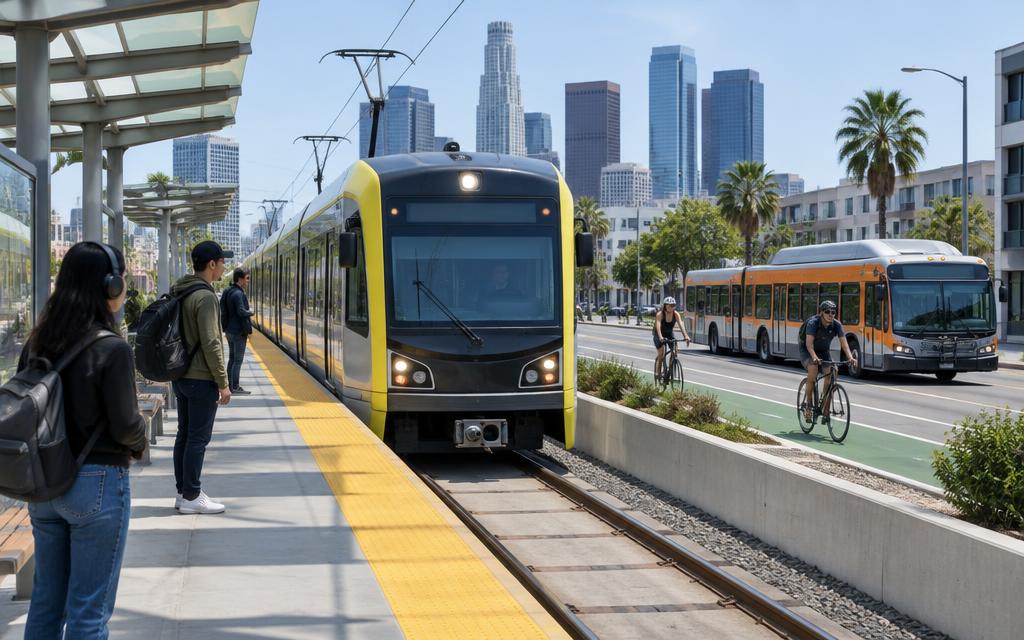
Wyoming has essentially no urban rail and only small bus systems such as START in Jackson and Cheyenne Transit, making it one of the least transit-served states.
Workers commuting by public transit
2006–2024Census American Community Survey 1-year estimates, share of workers 16+, B08301 (2020 not released).
- •Wyoming is the only state without any Amtrak passenger rail service.
- •START bus system in Jackson serves the busy Teton County tourism corridor.
- •Cheyenne Transit provides Wyoming's capital with its main fixed-route bus service.
Airports
Jackson Hole Airport is Wyoming's busiest, the only U.S. commercial airport located inside a national park, followed by Casper and Cheyenne regional airports.
Passengers boarded at all commercial airports in Wyoming
2011–2025FAA Air Carrier Activity Information System, calendar-year commercial-service enplanements.
Passengers boarded at Jackson Hole (JAC)
2011–2025FAA calendar-year enplanements.
- •Jackson Hole Airport is the only commercial airport located within a U.S. national park (Grand Teton).
- •Casper's airport serves as a hub for Wyoming's energy industry.
- •Wyoming has no major hub airport, relying on connections through Denver and Salt Lake City.
Traffic
Wyoming records one of the highest traffic-fatality rates per vehicle mile traveled in the nation, driven by high speed limits, long rural highways, and severe winter conditions.
Traffic fatalities
1994–2024NHTSA Fatality Analysis Reporting System (FARS), State Traffic Data.
Fatality rate per 100 million vehicle miles
1994–2024NHTSA Fatality Analysis Reporting System (FARS), State Traffic Data.
- •Wyoming's rural interstates have among the highest posted speed limits in the country, up to 80 mph.
- •Winter storms and black ice contribute to a high share of Wyoming traffic fatalities.
- •Low traffic volumes mean minimal congestion despite Wyoming's high fatality rate per mile driven.
Commuting Patterns
Wyoming commuters enjoy a mean commute time of about 18.5 minutes, among the shortest in the nation, reflecting the state's low population density and small urban centers.
Mean travel time to work
2006–2024Census American Community Survey 1-year estimates, aggregate travel time ÷ workers not working at home, B08013/B08012 (2020 not released).
Workers who drive alone
2006–2024Census American Community Survey 1-year estimates, share of workers 16+, B08301 (2020 not released).
Workers who work from home
2006–2024Census American Community Survey 1-year estimates, share of workers 16+, B08301 (2020 not released).
| Indicator | Wyoming | U.S. |
|---|---|---|
| Mean commute (minutes) | 18.5 | 26.4 |
- •Wyoming's commute times rank among the five shortest in the U.S.
- •Nearly all commuters in Wyoming drive alone due to sparse public transit.
- •Remote work accounts for roughly 10% of Wyoming's workforce.
Infrastructure
Wyoming maintains about 44,000 kilometers of public roads and relies heavily on Interstates 80 and 25 as key freight corridors across the state's vast rural landscape.
Bridges in poor condition
2000–2025FHWA National Bridge Inventory, Bridge Condition by Highway System (as of June each year).
Bridges in good condition
2000–2025FHWA National Bridge Inventory, Bridge Condition by Highway System (as of June each year).
Total highway bridges
2000–2025FHWA National Bridge Inventory, Bridge Condition by Highway System (as of June each year).
Vehicle miles traveled
1994–2024FHWA vehicle miles traveled as published with NHTSA FARS (fatalities ÷ fatality rate per 100M VMT).
- •I-80 across southern Wyoming is one of the most heavily used freight corridors in the West.
- •Wyoming's low population density means road miles per capita are among the highest in the U.S.
- •Severe winter weather along I-80 frequently causes multi-day highway closures.