
Vehicles
Minnesota has about 5.6 million registered vehicles, reflecting car-dependent commuting outside the Twin Cities core.
Households without a vehicle
2006–2024Census American Community Survey 1-year estimates, B08201 (2020 not released).
| Indicator | Minnesota | U.S. |
|---|---|---|
| Vehicles (millions) | 5.6 | 283 |
Public Transit
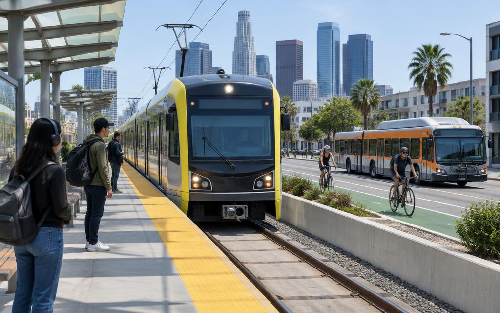
Metro Transit operates light rail (METRO Blue and Green lines) and bus rapid transit in the Twin Cities, with ridership recovering steadily post-pandemic.
Workers commuting by public transit
2006–2024Census American Community Survey 1-year estimates, share of workers 16+, B08301 (2020 not released).
| Indicator | Minnesota | U.S. |
|---|---|---|
| Transit commute share (%) | 3 | 3.1 |
Airports
Minneapolis-Saint Paul International Airport is a major Delta Air Lines hub, serving as the primary gateway to the Upper Midwest.
Passengers boarded at Minneapolis–Saint Paul International Airport
2003–2023Bureau of Transportation Statistics / FAA, enplanements at MSP.
Passengers boarded at MSP
2003–2023Bureau of Transportation Statistics / FAA enplanements.
| Indicator | Minnesota | U.S. |
|---|---|---|
| Annual passengers (millions) | 38 | 853 |
Traffic
The Minneapolis-St. Paul metro experiences moderate traffic congestion, with I-94 and I-35W as the busiest corridors, worsened by harsh winter conditions.
Traffic fatalities
1994–2024NHTSA Fatality Analysis Reporting System (FARS), State Traffic Data.
Fatality rate per 100 million vehicle miles
1994–2024NHTSA Fatality Analysis Reporting System (FARS), State Traffic Data.
| Indicator | Minnesota | U.S. |
|---|---|---|
| Hours lost to congestion/yr | 40 | 51 |
Commuting Patterns
Most Minnesotans commute by car, with an average commute time of about 23 minutes, while Minneapolis-St. Paul has a growing light rail network.
Mean travel time to work
2006–2024Census American Community Survey 1-year estimates, aggregate travel time ÷ workers not working at home, B08013/B08012 (2020 not released).
Workers who drive alone
2006–2024Census American Community Survey 1-year estimates, share of workers 16+, B08301 (2020 not released).
Workers who work from home
2006–2024Census American Community Survey 1-year estimates, share of workers 16+, B08301 (2020 not released).
| Indicator | Minnesota | U.S. |
|---|---|---|
| Avg. commute time (minutes) | 23 | 26.4 |
Infrastructure
Minnesota maintains about 140,000 miles of public roads and highways, one of the largest state road networks in the country.
Bridges in poor condition
2000–2025FHWA National Bridge Inventory, Bridge Condition by Highway System (as of June each year).
Bridges in good condition
2000–2025FHWA National Bridge Inventory, Bridge Condition by Highway System (as of June each year).
Total highway bridges
2000–2025FHWA National Bridge Inventory, Bridge Condition by Highway System (as of June each year).
Vehicle miles traveled
1994–2024FHWA vehicle miles traveled as published with NHTSA FARS (fatalities ÷ fatality rate per 100M VMT).
| Indicator | Minnesota | U.S. |
|---|---|---|
| Road miles (thousands) | 140 | 4200 |