
Vehicles
Louisiana has about 3.9 million registered vehicles, with car dependency high outside the New Orleans urban core.
Households without a vehicle
2006–2024Census American Community Survey 1-year estimates, B08201 (2020 not released).
Public Transit
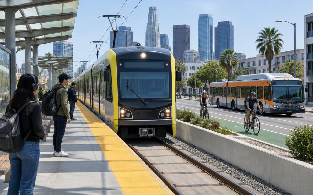
Public transit in Louisiana is limited outside New Orleans, which operates historic streetcar lines alongside its bus network.
Workers commuting by public transit
2006–2024Census American Community Survey 1-year estimates, share of workers 16+, B08301 (2020 not released).
- •New Orleans operates the oldest continuously operating streetcar line in the world (St. Charles Ave).
Airports
Louisiana's main airport, Louis Armstrong New Orleans International, handles over 13 million passengers annually.
Passengers boarded at all commercial airports in Louisiana
2011–2025FAA Air Carrier Activity Information System, calendar-year commercial-service enplanements.
Passengers boarded at Louis Armstrong New Orleans International (MSY)
2011–2025FAA calendar-year enplanements.
Passengers boarded at MSY
2003–2023Bureau of Transportation Statistics / FAA enplanements.
Traffic
Traffic congestion in Louisiana is concentrated in New Orleans and Baton Rouge, with the I-10 corridor and Mississippi River bridges as key bottlenecks.
Traffic fatalities
1994–2024NHTSA Fatality Analysis Reporting System (FARS), State Traffic Data.
Fatality rate per 100 million vehicle miles
1994–2024NHTSA Fatality Analysis Reporting System (FARS), State Traffic Data.
Commuting Patterns
Louisiana's commuting patterns show relatively short average commute times outside New Orleans and Baton Rouge, with heavy reliance on personal vehicles.
Mean travel time to work
2006–2024Census American Community Survey 1-year estimates, aggregate travel time ÷ workers not working at home, B08013/B08012 (2020 not released).
Workers who drive alone
2006–2024Census American Community Survey 1-year estimates, share of workers 16+, B08301 (2020 not released).
Workers who work from home
2006–2024Census American Community Survey 1-year estimates, share of workers 16+, B08301 (2020 not released).
| Indicator | Louisiana | U.S. |
|---|---|---|
| Mean commute time (min) | 25.5 | 26.7 |
Infrastructure
Louisiana's transportation infrastructure includes the Port of South Louisiana, the nation's largest port by tonnage, plus extensive petrochemical pipeline networks.
Bridges in poor condition
2000–2025FHWA National Bridge Inventory, Bridge Condition by Highway System (as of June each year).
Bridges in good condition
2000–2025FHWA National Bridge Inventory, Bridge Condition by Highway System (as of June each year).
Total highway bridges
2000–2025FHWA National Bridge Inventory, Bridge Condition by Highway System (as of June each year).
Vehicle miles traveled
1994–2024FHWA vehicle miles traveled as published with NHTSA FARS (fatalities ÷ fatality rate per 100M VMT).
- •The Port of South Louisiana is the largest port in the Western Hemisphere by tonnage.